
What PhotoCaptioner AI's location pin colors mean
Every geotagged photo gets a colored pin on its map. Here's exactly what each color is telling you.
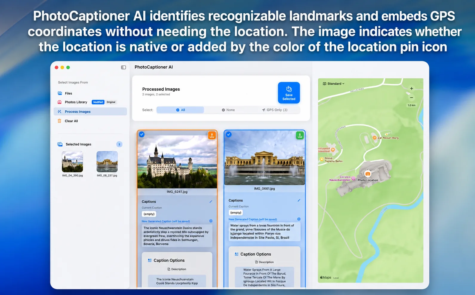
When your photos contain GPS data — which most iPhone and modern camera images do — PhotoCaptioner AI shows where they were taken on a map, drawn locally with Apple’s MapKit. No coordinates ever leave your Mac. Each pin’s color tells you where the coordinates came from.
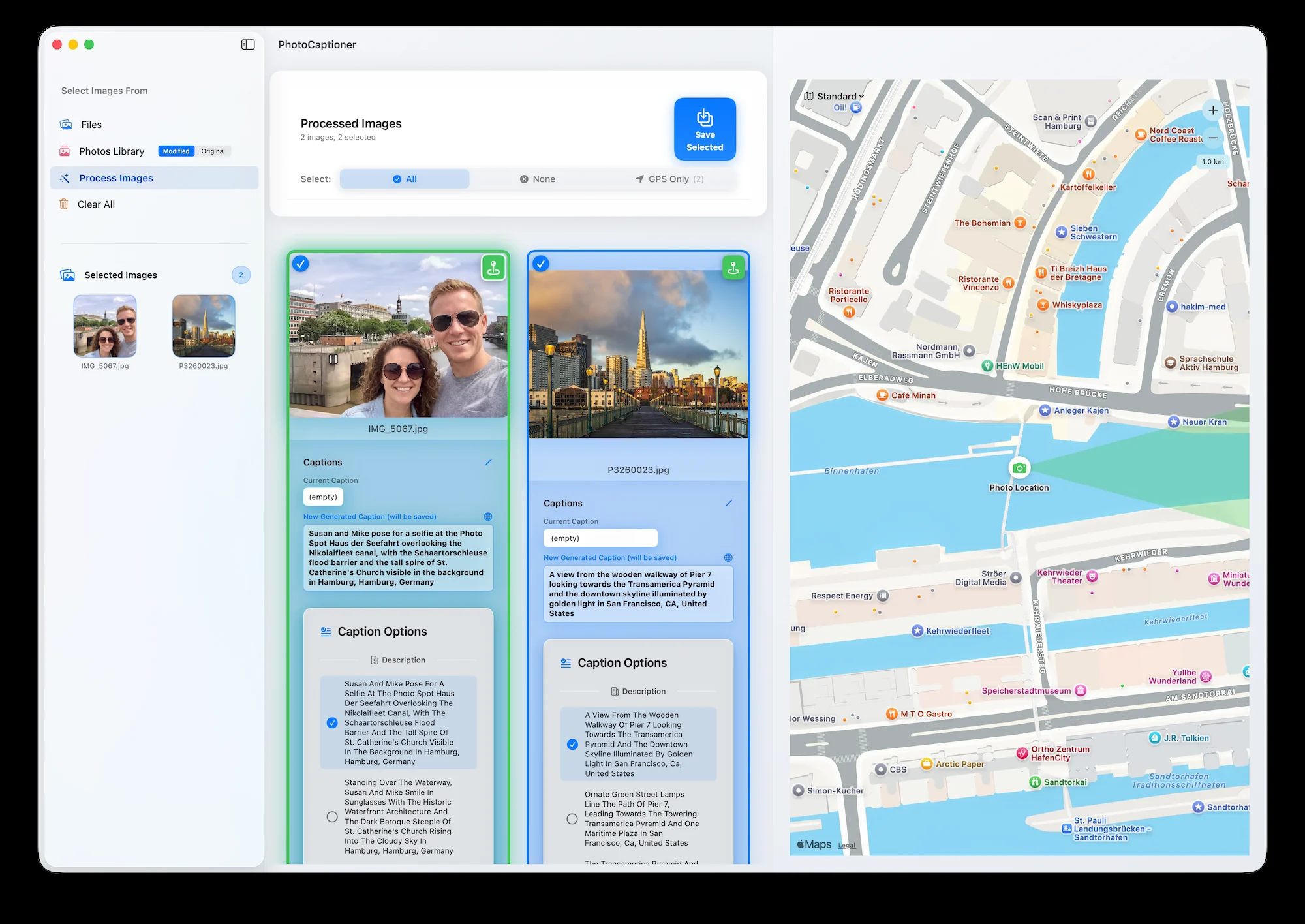
Green pin — from the photo itself
A green pin means the coordinates came directly from the photo’s EXIF metadata. This is the trustworthy case — treat green pins as ground truth.
Orange pin — inferred from the caption
An orange pin appears when a photo has no embedded GPS, but Gemini identified a recognizable landmark and the coordinates were derived from that, then verified. Usually right for famous places — but an informed guess, so verify before archival cataloging.
Green pins are ground truth. Orange pins are informed guesses — worth a second look.
No pin — no location data
Neither embedded GPS nor a recognizable landmark? You’ll see “No location data for this photo.” The caption is still generated from visual cues. Photos often lose GPS when shared through messaging apps.
Why it matters
For a searchable, archival-quality library, the pin color tells you how much to trust each location. For the most accurate venue names, add a Google Places API key.
PhotoCaptioner AI
Ready to caption your photo collection?
Try your first 25 captions free. Unlock Pro with one purchase—no subscription.